
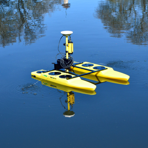
Site Assessment: Before commencing any construction project in marine or coastal areas, it's essential to conduct a hydrographic survey to assess the seabed conditions, water depths, and potential obstacles such as rocks, reefs, or wrecks. This data helps planners and engineers understand the challenges they may face during construction and plan accordingly.
Design Phase: Hydrographic survey data is used in the design phase of civil construction projects to determine the optimal location for structures such as piers, jetties, breakwaters, and other coastal infrastructure. By understanding the seabed topography and bathymetry, engineers can design structures that are stable and resilient against currents, waves, and sedimentation.
Topographic surveys are integral to construction projects in Singapore, aiding in the planning, design, and execution phases.
Site Evaluation and Planning: Before any construction begins, topographic surveys are conducted to map the existing terrain, including natural features such as hills, valleys, water bodies, and man-made structures. This data helps planners evaluate the site's suitability for construction, identify potential challenges, and plan the layout of infrastructure such as buildings, roads, and drainage systems.
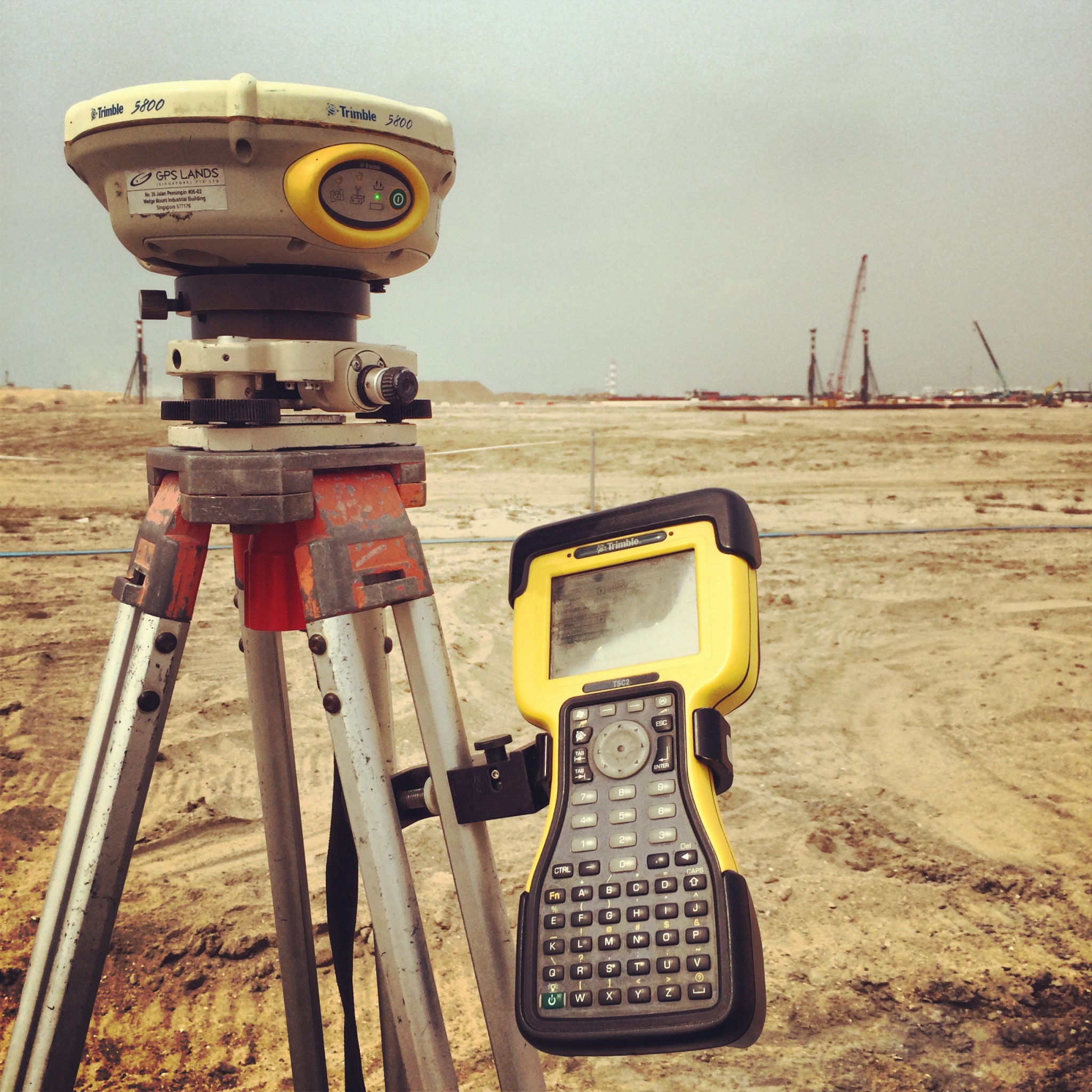
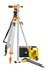
Geodetic surveys are essential in construction projects in Singapore, providing accurate spatial data and reference points for various stages of development.
Establishing Control Points: Geodetic surveys are used to establish precise control points across construction sites. These points serve as benchmarks for measurements and ensure that subsequent surveying activities are accurately referenced to a common coordinate system. Control points are critical for maintaining consistency and accuracy throughout the project.